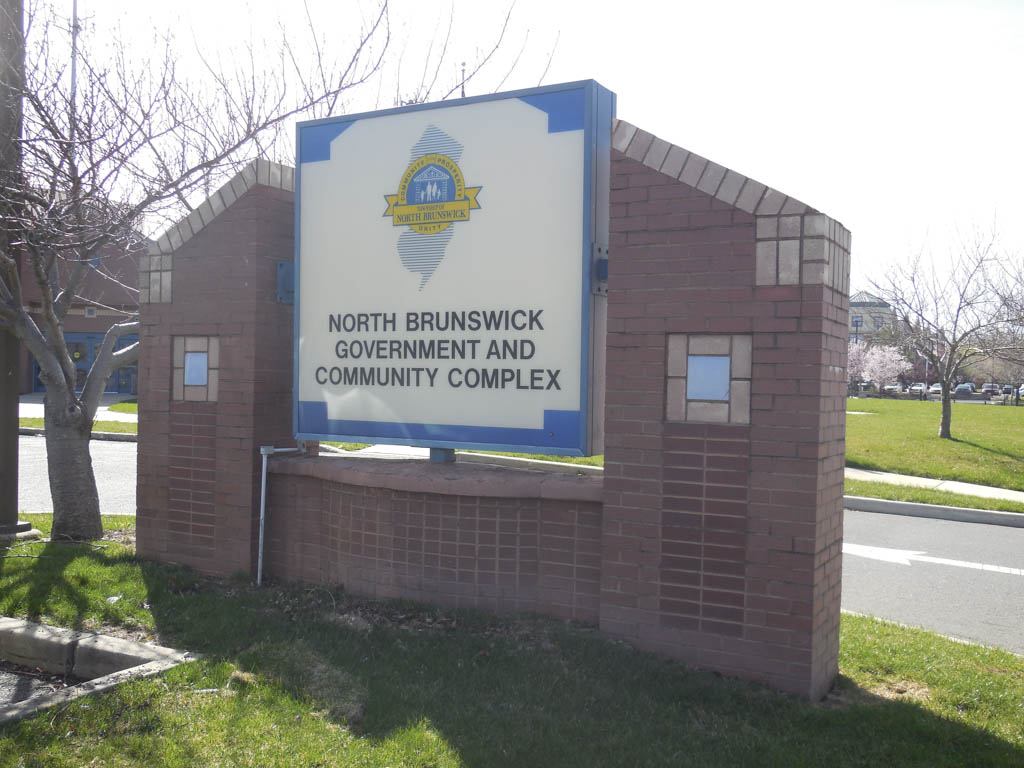
NORTH BRUNSWICK – Seventeen changes have been made to North Brunswick’s Master Plan, allowing for zoning amendments to several areas of town.
Five areas had already been addressed but needed to be updated on the township map, township Planner Thomas Vigna said during a special Planning Board meeting on April 26, while 12 are entirely new changes.
The major changes since 2006 include adding an elementary school facility on Route 130 south; allowing the transit village property on Route 1 from Commerce Boulevard to Aaron Road; and providing for massive roadway improvements as part of the transit village project, Vigna said.
The 17 changes included in the adoption include: designating the Crabiel Park area at Milltown Road and Route 1 as education/recreation; acknowledging a use variance granted by the North Brunswick Zoning Board of Adjustment in 2006 for the Shoppes at North Brunswick at routes 1 and 130; changing 18 properties off Livingston Avenue by 12th Street and Cranbury Cross Road from C-1 to C-2; reflecting the character of single-family lots on the southbound side of Livingston Avenue that were previously zoned office; changing lots owned by the North Brunswick Board of Education on Ridgewood Avenue to education/recreation;
Changing the map to reflect a study conducted on Livingston Avenue by Maser Consulting two years ago; changing Grove Street by Route 1 before Adams Lane from C-1 to R-3 single family; changing the area of 47 residential lots off of Route 1 north to residential instead of industrial; allowing food preparation at a lot off of Finnegans Lane that was previously zoned C-3 without food; changing 120 acres of vacant industrial land from I-2 to education/research because the wetlands must be considered passive recreation space;
Changing two lots from single family to industrial on the map that were changed by text in 2011; creating a commercial area on the northbound side of Route 130 that was industrial to reflect a change to C-4 in 2010; accounting for the new intermediate school planned for Route 130 south; designating an area of Adams Lane as R-5 for its garden apartment complex; changing the Pulda Farm property from an age-restricted planned adult community to education/recreation;
Creating a mixed use development in an industrial zone to reflect the 212-acre transit village property on Route 1; and making the R-4A zone simply R-A because two-family homes are not permitted any longer in town.
In terms of roadway improvements, Vigna said Maser Consulting was hired eight months ago to evaluate Livingston Avenue and How Lane and suggested five alternatives to eliminate queuing issues. He said the Planning Board supports any efforts by the governing body to construct a roundabout and right-turn lane. Livingston Avenue is a state highway and How Lane is owned by the county.
Also, the four-lane county-owned Finnegans Lane is being studied by the county to alleviate traffic for North and South Brunswick residents. A suggested “road diet” would make Finnegans one lane in each direction with a center turning lane. Kory Drive and Tulip Drive could have a new light or a roundabout. Vigna said the Planning Board supports any of the options.
In addition, Vigna noted the growth of electric vehicle use, with 20 percent of the population driving electric cars by 2030, and 35 percent expected by 2040. He cited “range anxiety,” where people are fearful they will not have enough charge for a roundtrip. He said the new mandate will include electric vehicle charging stations.
Vigna noted the township’s other efforts to improve the environment, such as by requiring 10 percent of the energy generated by the transit village property to be alternative energy, having big box stores install solar panels, and not allowing potable (drinking) water for landscaping.
The state mandates a periodic review of the Master Plan, which was last adopted in North Brunswick in May 2006, Vigna said.
The plan had been amended since then: in 2009 to allow for the transit village on Route 1; in 2009 to include age-restricted housing; in 2010 to allocate a new commercial zone along Route 130 north in the southern end of town, which was previously industrial; in 2010 to allow for big box/large retail establishments on Route 1; and in 2011 to convert 26 acres of residential as industrial, Vigna said.
On June 6, 2016, the township adopted a 24-page housing element and fair share plan.
On Dec. 31, 2017, the township adopted a state-mandated open space and recreation plan.
Contact Jennifer Amato at [email protected].

